Story by Jim Baird
Photos by Jim Baird and Tori Farquharson
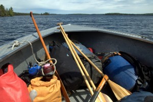
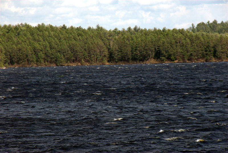
The windy and wet weather finally breaks when my girlfriend Tori and I wake at our Blueberry Falls campsite. The falls are the last obstruction on Algonquin Park’s Crow River before it empties into the Petawawa. We’d started our trip on Lake Opeongo three days earlier where we’d opted to speed our pace by using the water taxi service offered by Algonquin Outfitters. The taxi knocked off 15 kilometers of paddling on Algonquin’s largest lake, a good decision with the strong wind that would have halted our canoe travel. The taxi was also a smart choice because we had bitten off more than we could chew. We still had 100 tough kilometers to travel in six days, from the end of Opeongo to our vehicle at McManus Lake where we’d arranged to have it shuttled by Algonquin Portage Outfitters. I’m concerned that the necessary fast pace and long days of our trip aren’t fun for Tori. She’s paddled white-water before, and has done a few shorter multi-day trips, but this is her first advanced level trip and her longest one to boot.
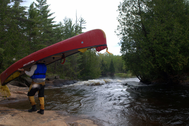
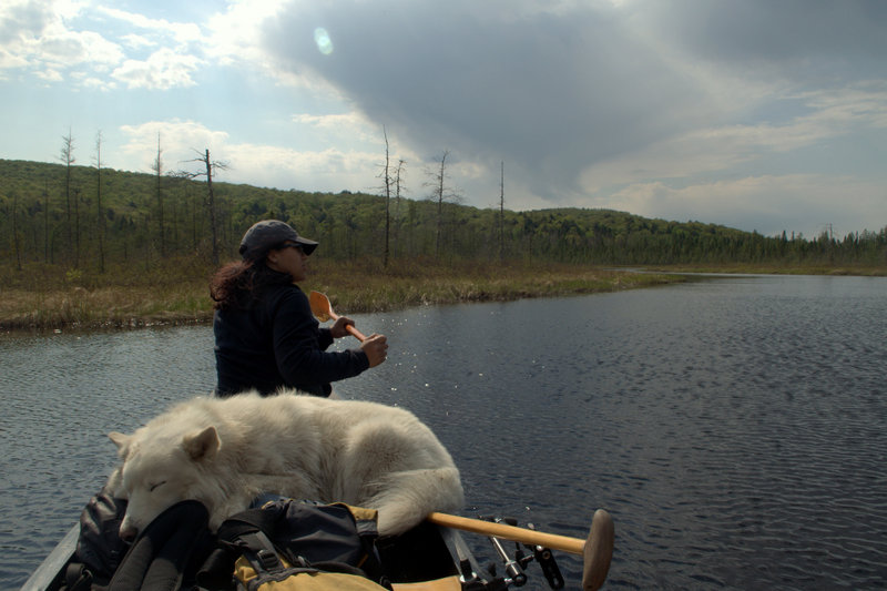
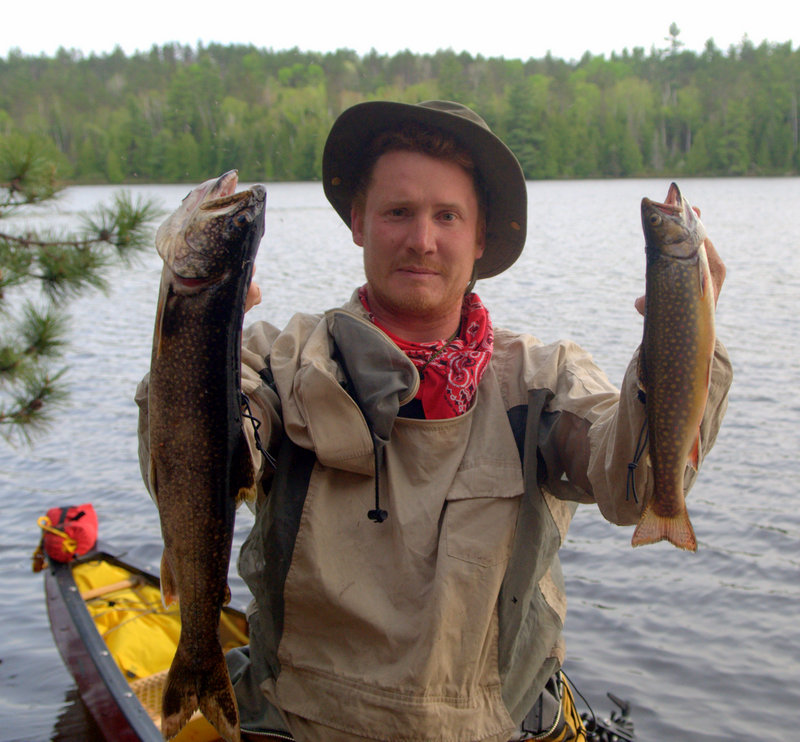
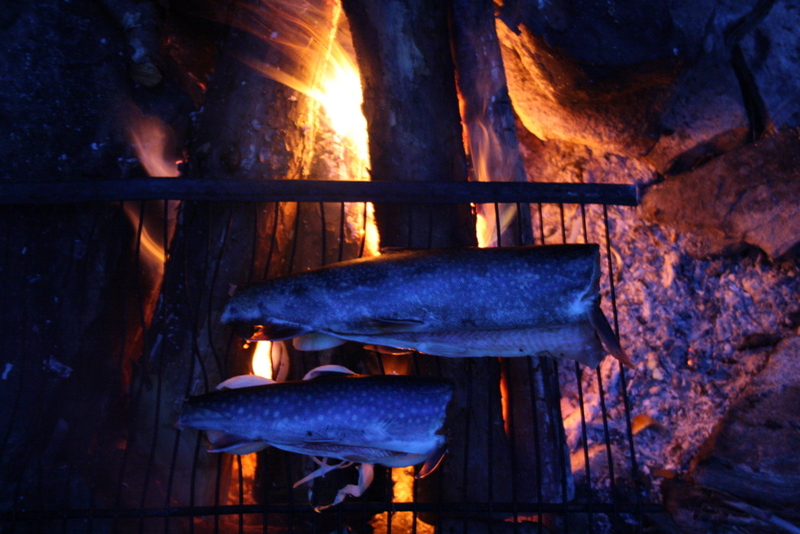
It’s spring time and the cold water and black fly larva in the Crow make for good trout fishing. We’d caught about twenty Brook Trout and a Lake Trout in the previous three days. The very numerous and lengthy portages necessary to navigate the Crow is likely what guards the river from heavy fishing pressure. We’d seen no one since we entered the Crow and it feels like we’ll have the Petawawa to ourselves too. While carrying around Blueberry Falls, I mention my happiness with the solitude to Tori as she violently swats at a group of black flies and mosquitos on her shoulder. “Maybe that’s why no one’s here,” she says, referring to the bugs with a laugh. Our Husky dog Buck, who is along for the trip, seconds Tori’s motion and bites at the bugs buzzing around his head.
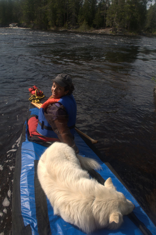
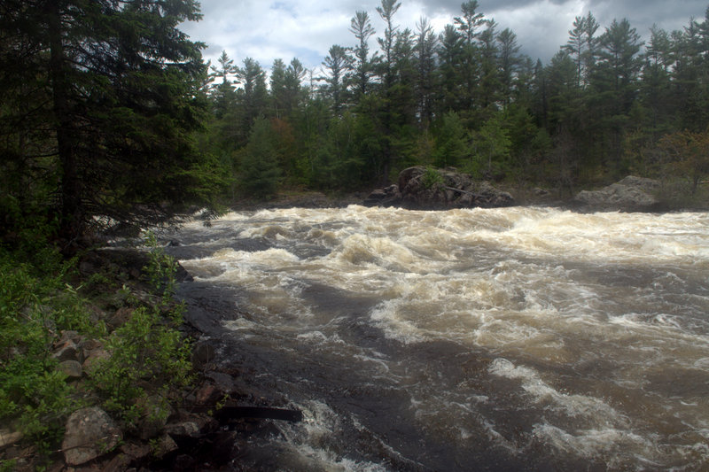
A short paddle down from the falls and we reach the Petawawa, an ancillary tributary to the Mighty Ottawa and the largest volume river in Algonquin. We are still feeling a little pressed for time with 60 kilometers of advanced level river in front of us and only three days left to paddle it. We’d chosen the Petawawa for its white-water thrills, the best Algonquin has to offer, but the excitement for such a challenge doesn’t come without a healthy dose of apprehension. After all, Petawawa is a native Algonquin word meaning “noise heard from afar”, which refers to the rivers’ many thundering rapids.
River of Rapids
The section of the Petawawa most commonly run in the park is from the Lake Travers put-in, reached via the Sand Lake Gate, to the McManus take out in park’s eastern boarder. From Travers, most trippers take three days to paddle the 48 km to McManus Lake. This section of river incorporates about fourteen rapids varying from class 1 to class 4. The most impressive being Rollaway Rapids, an 800m class 3/4, and then Crooked Chute, a class 4 chute immediately followed by a tough class 3 during spring water levels. Several other exciting “big water” class 3 runs await in this section too, such as Little Thompson and Natch. But don’t let the white-water scare you off if you’re not into that. These rapids can be portaged fairly easily and the runs are much calmer should you decide to do the trip in the summer or fall. The river also holds dramatic scenery, some of it captured by Tom Thomson, influencer of The Group of Seven, in his paintings of the river. Possibly the most famous of them being “Petawawa Gorges” which depicts the towering 100m cliffs of Precambrian granite that flank the river immediately succeeding Natch Rapids. The Petawawa is also the only place in the park where warm water fish species are native, and fishing for Muskellunge, Walleye, and Smallmouth Bass can be quite good. Schooner and Five Mile Rapids provide long stretches of unbroken class 1 and 2 rapids. These runs would require over 5km of portaging to bypass. So, it’s not a good idea to plan a spring trip on the Petawawa, unless you are comfortable running some class 2 rapids.
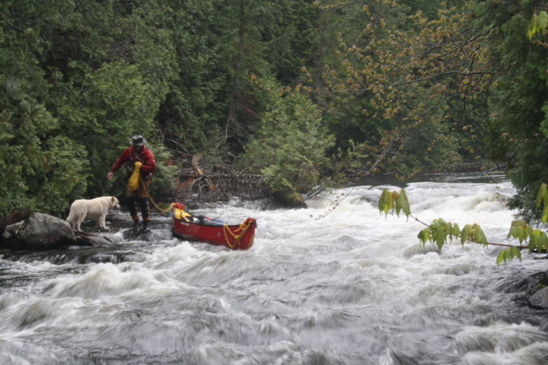
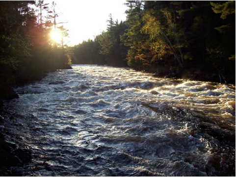
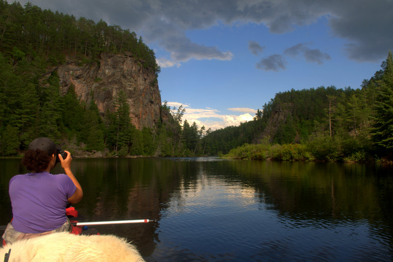
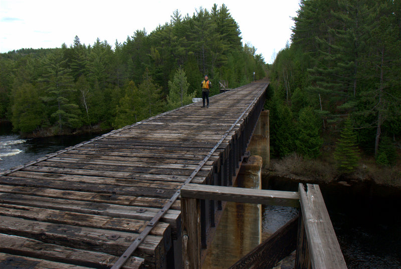
The Crow pours into the Petawawa in the middle of a less paddled section of the “Pet”, which is usually traveled from the put-in at Cedar Lake – Brent Access Point (#26) at the park’s northern boundary, to Lake Travers. The 47 kilometer section requires more portaging than the lower section in the park, although some of the rapids can be lined. The abandoned CN railway bed can be used as a portage trail along much of this stretch of river. You’ll also need to travel across the large Cedar Lake, as well as Radiant Lake where wind can slow your progress. Four days is a good amount of time to allot if you choose to do this section. Much like the section from Travers down, its rapids are challenging and the scenery is exceptional.
It’s late in the evening and we run a couple short class 3 rapids with Buck in the canoe. We usually let him out at the top of the rapid and he’ll meet us at the bottom but it seems he doesn’t mind a little white-water fun either. Soon we’re portaging around Devil’s Cellar Rapids and then almost immediately we begin another 1,300-meter carry. We’re hoping we can make it to Lake Travers before dark but it’s not looking good as we still need to complete another long portage and more paddling before reaching the lake.
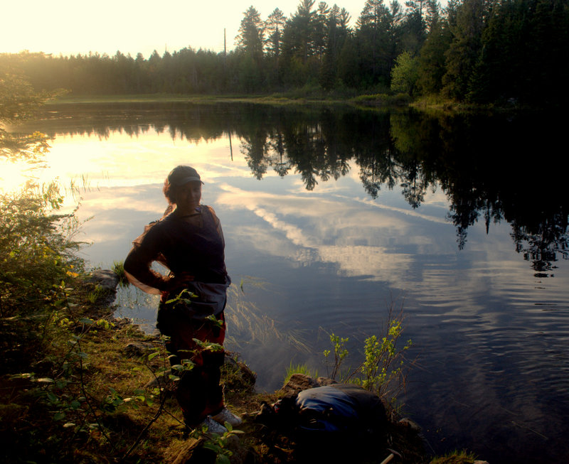
That’s when Tori asks me where my fishing rod is. Having lost one to Davy Jones’s locker earlier that day, we were down to our last rod. “Um, I don’t know, I thought you were carrying it,” I say with distinct panic. “Maybe it’s back at the beginning of the portage,” Tori suggests, but I know it’s not. I realize it’s likely back at the end of the last portage, a 2 km walk each way; half of it, a total bushwhack. I decide to go anyway but I’m clearly not a happy camper. I hope I didn’t seem too pissed, I think to myself as I walk. I want to stay positive on this trip to help make sure Tori has a good time.
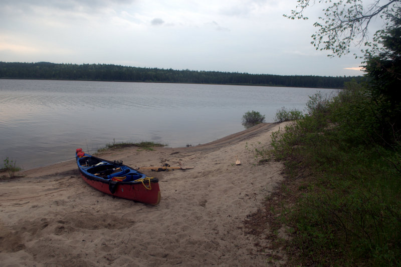
Questing for the rod I’m jumping from rock to rock at the water’s edge when my foot slips between two large boulders and I start falling over sideways. I feel a rock dig sharply into the side of my shin and I fear I’m about to break my leg. Luckily, my foot slips, freeing me from the leg breaking hold, but I go ass-over-tea-kettle into the drink. I get out of the cold water and say the F-word, really, really loudly as I keep walking. After scrambling along the side of steep hills, clambering over boulders and crashing my way through dense bush, the moment of truth arrives as I approach the end of the last portage. And the rod is there, leaning up against a tree, thank God! I’m relieved my mission has not been pointless. I return from the 4 km walk with a less than positive outlook but Tori smiles and tells me it didn’t take me long. She seems happy. My leg hurts and it’s swollen, but Tori’s warm demeanour cheers me up. With our energy tanks running low, we complete the last portage of the day and paddle out on to Lake Travers in the setting sun. Despite the road access, we have the lake to ourselves and pick a beautiful beach site, the nicest on the lake.
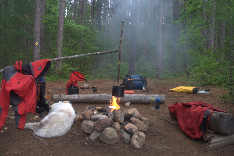
It’s morning on Travers, and Tori and I know we have to make good time today. The day starts out with running both Little and Big Thompson rapids while Buck watches us from shore. The adrenaline burst I receive from the big class 3s makes me forget that I didn’t have time for coffee this morning. Soon after that, Tori and I portage our gear around the pièce de résistance of the Petawawa: the infamous Rollaway Rapids. I muster up the courage to solo our 17′ Prospector canoe down the rapids, and successfully eddy out at their base near a cross that commemorates the death of another paddler who died on the rapid. To be safe, we wade up to the large drop on Crooked Chute and portage around it. Unlike Tori and I, Buck seems to enjoy the portages; they’re a fun walk for him. A little jealous, we make plans to sew him a large doggy backpack for our next trip. The long class 3 following the main drop of Crooked Chute is a great run and Tori is game to go for it. Barley missing the large hole at its top, we complete the wild ride with the open side of our canoe up! Continuing to make good time we run both Schooner and Five Mile rapids while Buck stands on our spray deck. The continuous class 1 and 2 rapids are extremely fun! And we see a moose along the bank as we make our way down them. We’ve had a very fun but long day when we finally pull over to make camp at dusk, and only 9km from our take-out. We’d been on the water for almost 12 hours.
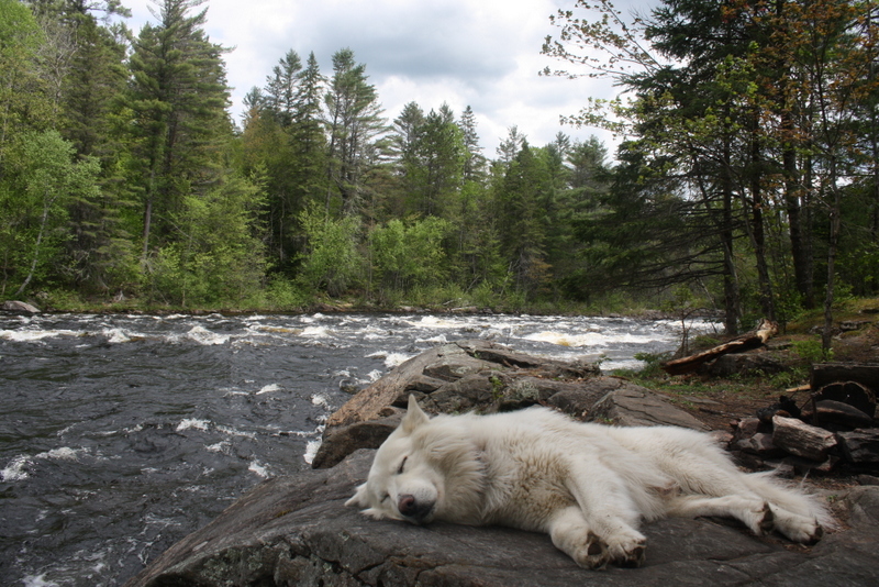
Hoping to catch a Walleye I troll towards our take-out on our last day when I feel something crush my lure. It turns out I have a Muskie on that is likely about 7lbs. Not targeting Muskie, as the sensitive species is out of season, I release it as quickly as possible, but catching it evokes dreams of hooking a leviathan on my next trip down the Pet. The day is sunny and warm, a swift tail wind picks up, pushing us effortlessly to our take-out and we complete the trip before noon. I look at Tori and ask if she had fun. She smiles and I know the answer is yes. I give her a congratulatory kiss and we get in the car. Ten minutes down the road, we begin planning our next adventure.
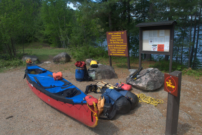
If you go:
Booking
– Camp sites in Algonquin Park can be booked at a park office on your arrival.
– If visiting in the summer months, it’s best to book in advance. You can do this online or over the phone. Camping permits are $10 a night per person.
Outfitting
-For Canoe trips in Eastern Algonquin Park, rent gear and book shuttles with Algonquin Portage Store and Outfitters
Water Taxi
Algonquin Outfitters Opeongo Store runs water taxi services on Lake Opeongo. In peak season, book in advance.
Fishing
– If you’re planning to do any fishing in the park, make sure that you have a valid Ontario Fishing license. Licenses can be bought at some of the park offices in Algonquin, including the Opeongo office. Call ahead to make sure.
– And consult the Ontario Fishing regulations summary for open seasons and limits.
Guidebook
– There is a comprehensive white-water guidebook available for the Petawawa that details all the rapids.
Grade that rapid!
To learn the difference between a class 3 and 4 rapid, consult the International Scale of River Difficulty


Leave a Reply